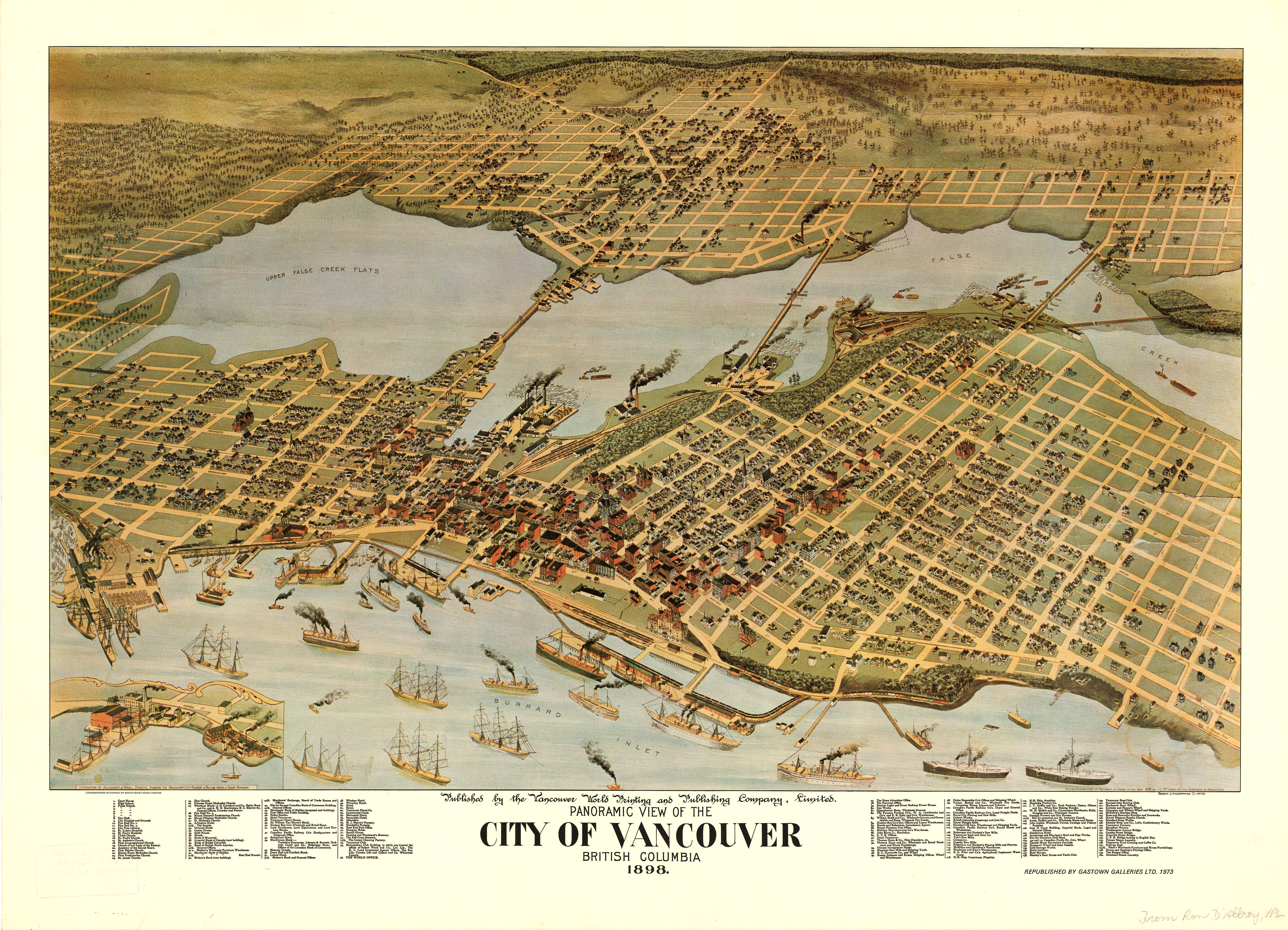
Wednesday, May 17: GIS, Data and Visualizations.


[aesop_image imgwidth=”100%” img=”https://blogs.ubc.ca/2017mappingtheinvisible/files/2017/05/Vancouver-Aerial-View-1898_Vancouver-Archives.jpg” credit=”From City of Vancouver Archives” align=”center” lightbox=”on” caption=”Vancouver Aerial View, 1898.” captionposition=”left” revealfx=”fromleft”]

Leave a Reply

Your email address will not be published. Required fields are marked *