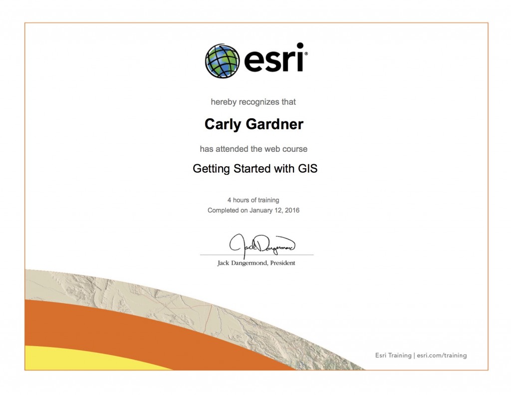
In this lab, I completed an online tutorial of ESRI’s GIS software. It provided me with an introduction to the basics of ArcGIS, including how to:
- display map features
- add data to a map
- manipulate data tables
- create a map (layout)
- save a map and associated data files
I also considered issues of data integrity and ethical implications for GIS mapping.
