Modern cartography covers a wide and complex range of subjects. Maps may portray political boundaries or oceanic depth, the geological structure of the earth’s surface or the density and distribution of its population; they may be used to represent, in graphic form, inventories of the world’s natural and industrial resources or of educational facilities. Military requirements, it is true, still retain a high priority in map making. However, it is equally true that the services provided by cartography are being increasingly utilized for peaceful purposes. This fact is perhaps the dominant feature of the development of car- tography during the last hundred years. The progress of the Science of Cartography is of equal concern to all nations…. (United Nations 1949: Introduction). Continue reading modern cartography
Monthly Archives: May 2017
Lets talk about bias – Moral and Political Map of the World
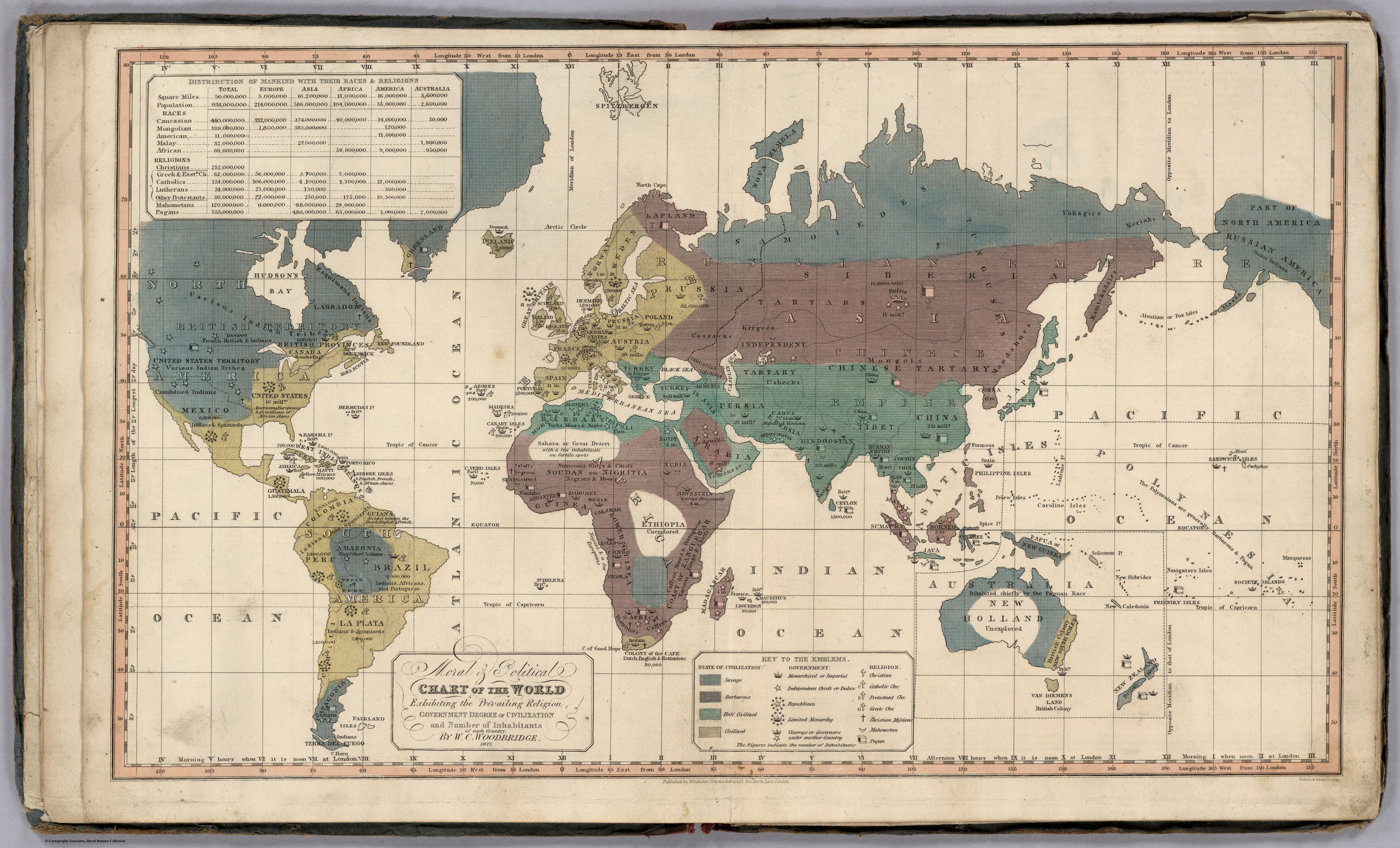
Look Closely at the terms used to decide who and what is civilized and savage, what religions are recognized, what types of governments… etc.
Sam
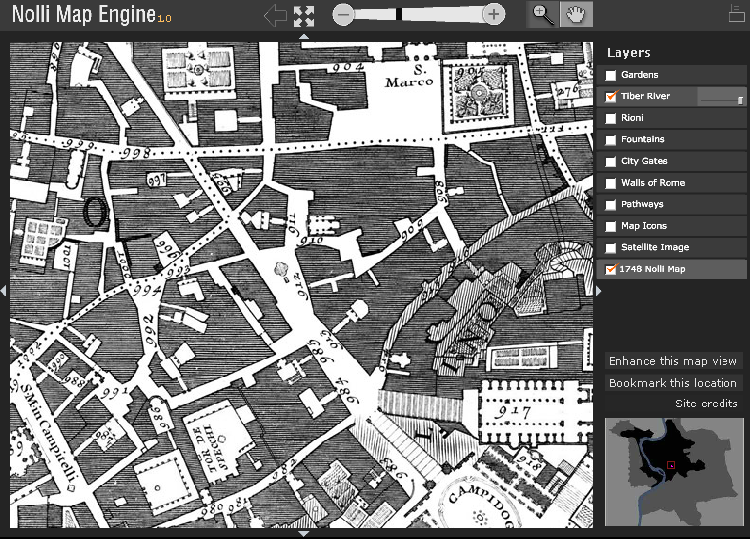
Interactive Nolli map website
information+ exhibition
http://informationplusconference.com/
This exhibition has some data/information visualization projects.
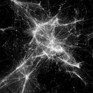
Uber Open Source Data Visualization Tools
The Temple Show Podcast
This is a great podcast featuring an interview with Pierre Bélanger.
Pierre Bélanger is a landscape architect and urban planner who teaches at the Harvard GSD. He also directs “OPSYS”: a hybrid between a laboratory and workshop that aims at designing ecological systems that can support and promote contemporary urban life.
As the curator of the Canadian Pavilion entitled ‘Extraction’ at the 16th Venice Biennale of Architecture, he called into question what it means for architecture to be complicit in colonial agendas worldwide by revealing how Canada now replicates the systems around the globe that were initially used to set up its notion of sovereignty and its massive resource extraction economy.
Listen Here:
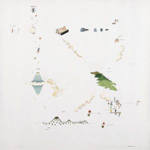
Gianfranco Baruchello’s “Infinite Small Systems”
A beautiful series by artist Gianfranco Baruchello, who illustrates objects and creates a non-linear map of associated objects, systems, and flows.
Many of these maps “explore the relationships between the value of the artistic and the agricultural product and […] investigate the concept of work and how the economical laws regulate it.” In other words, these maps argue that small and quotidien can have vast and far-reaching impacts and origins. Based on the most recent James Corner reading, this work can be identified an example of a “rhizomatic” map, a concept borrowed from Deleuze & Guattari.
The whole series can be viewed via the following link: http://socks-studio.com/2015/06/30/gianfranco-baruchellos-infinite-small-systems/
How the “ghost map” helped end a killer disease
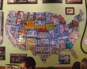
LICENCE PLATE MAP OF THE U.S.A.
Toponyms of Canada
who decides what names get on the map? https://www.nrcan.gc.ca/earth-sciences/geography/place-names/about-geographical-names-board-canada/11084
 Follow