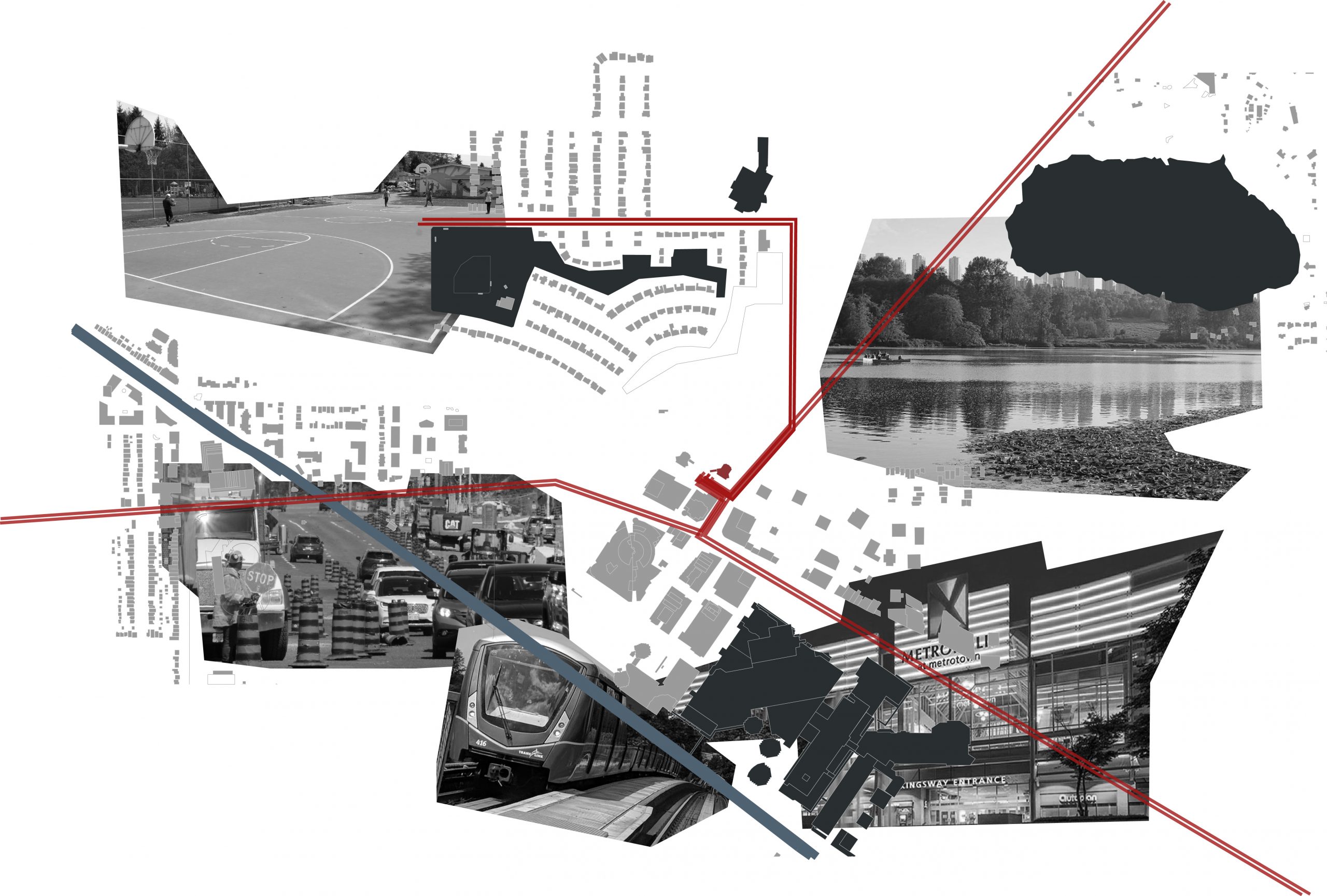
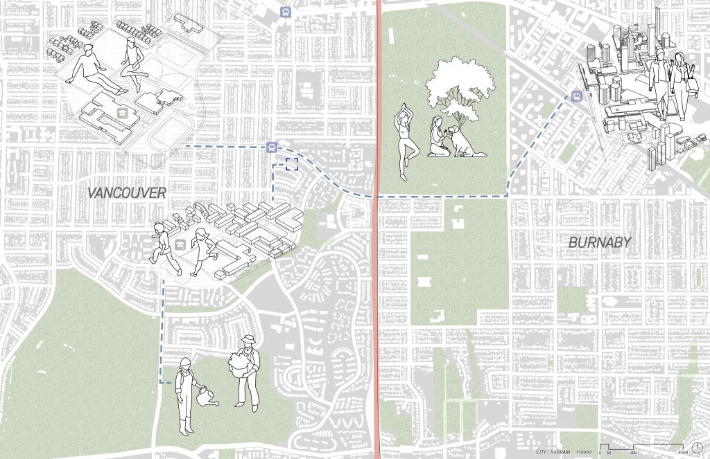
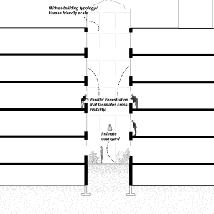
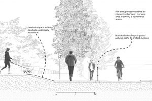
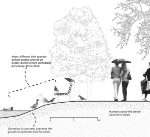
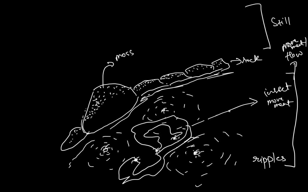
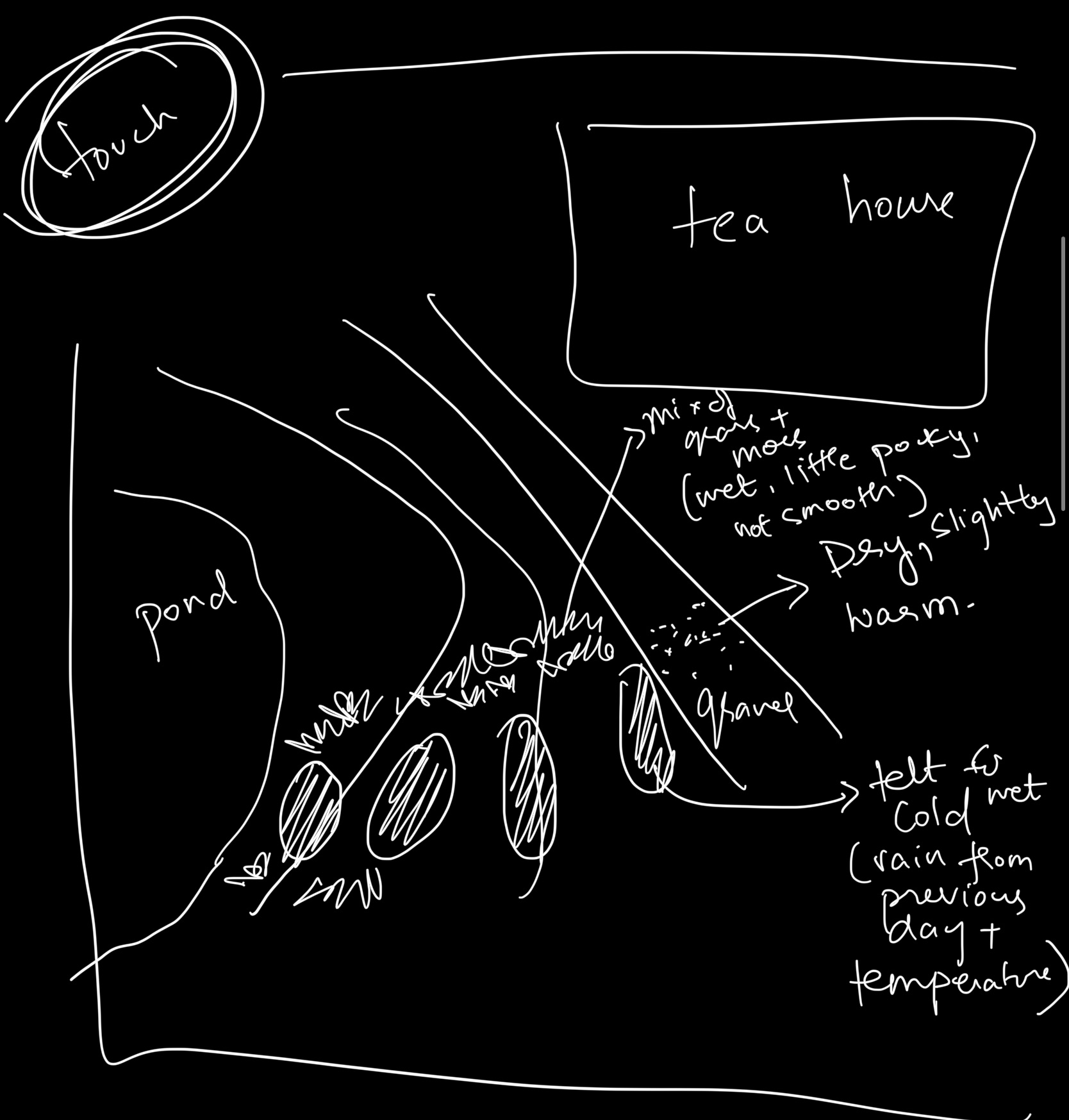
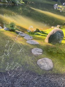
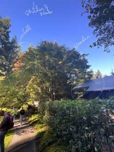
The urban environment often fails to consider relationships between informal stakeholders in the environment. This submission made an analysis of how the urban environment has characterised relationships between living things at different scales, particularly regarding edge conditions between the different actors, based on personal observations of several sites surrounding lost lagoon. We grouped urban stakeholders at different scales and examined the points on interaction between them, observing how the infrastracture aided/disrupted these interactions. The second part of this assignment will assess and propose ways to boost the synergy between a chosen set of actors- likely by blurring the margins and magnifying fluidity in the built environment.


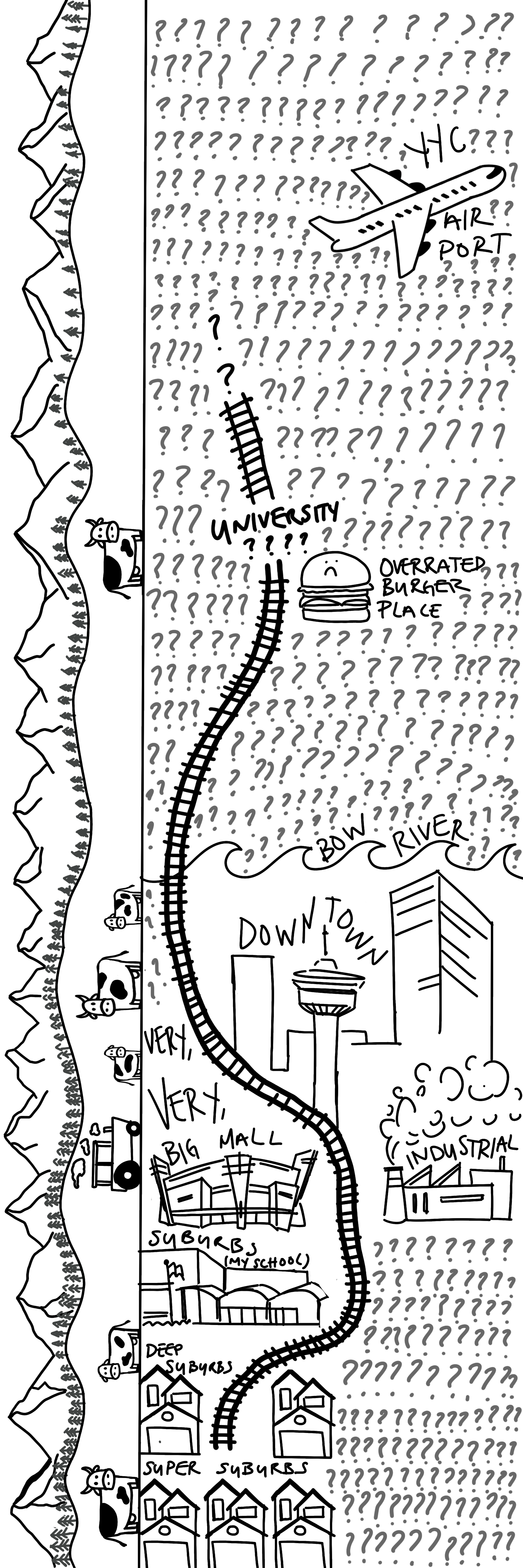
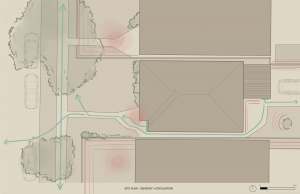
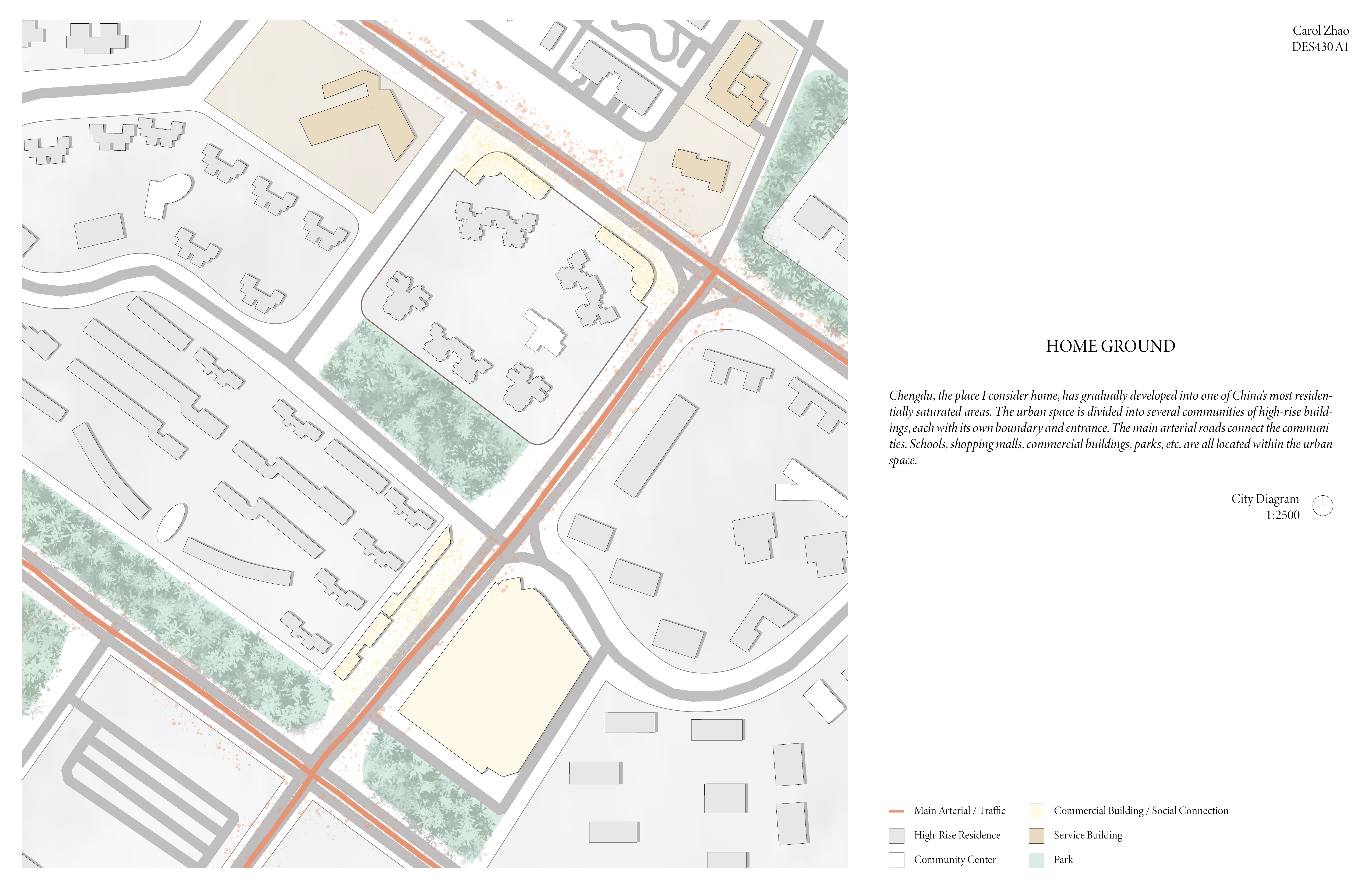
 Neighbourhood Plan 1:500
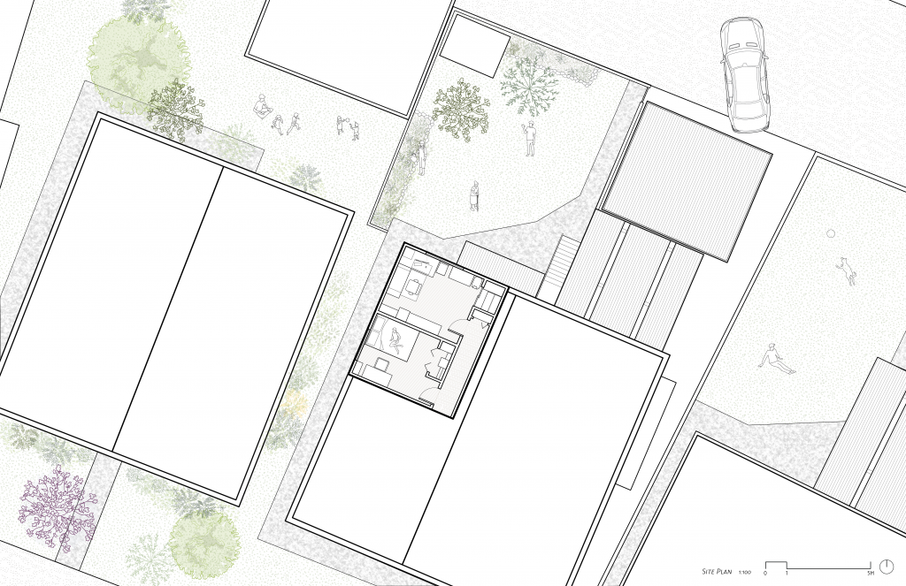
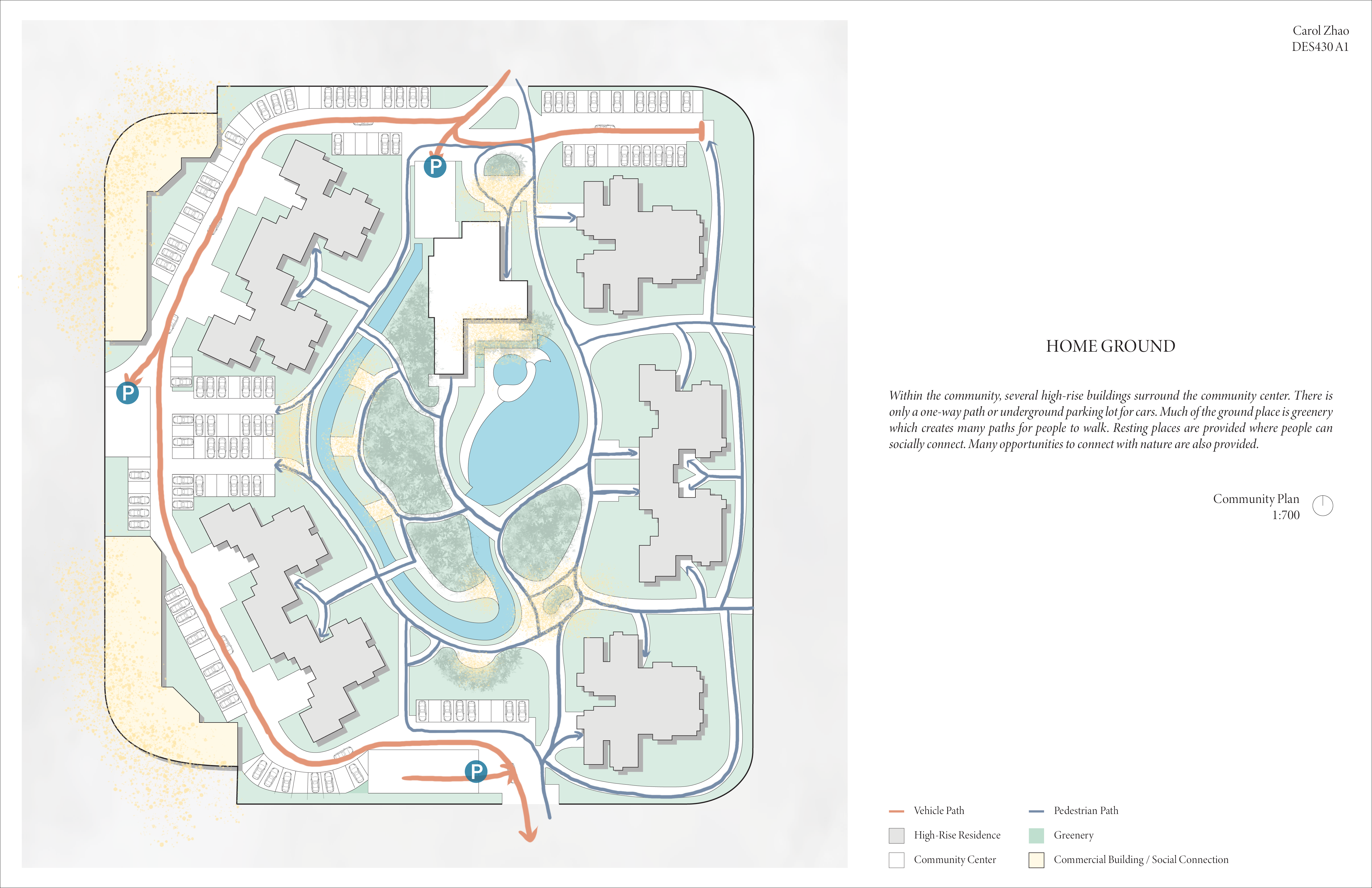
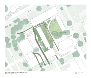
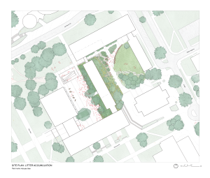
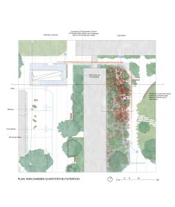
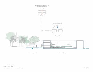
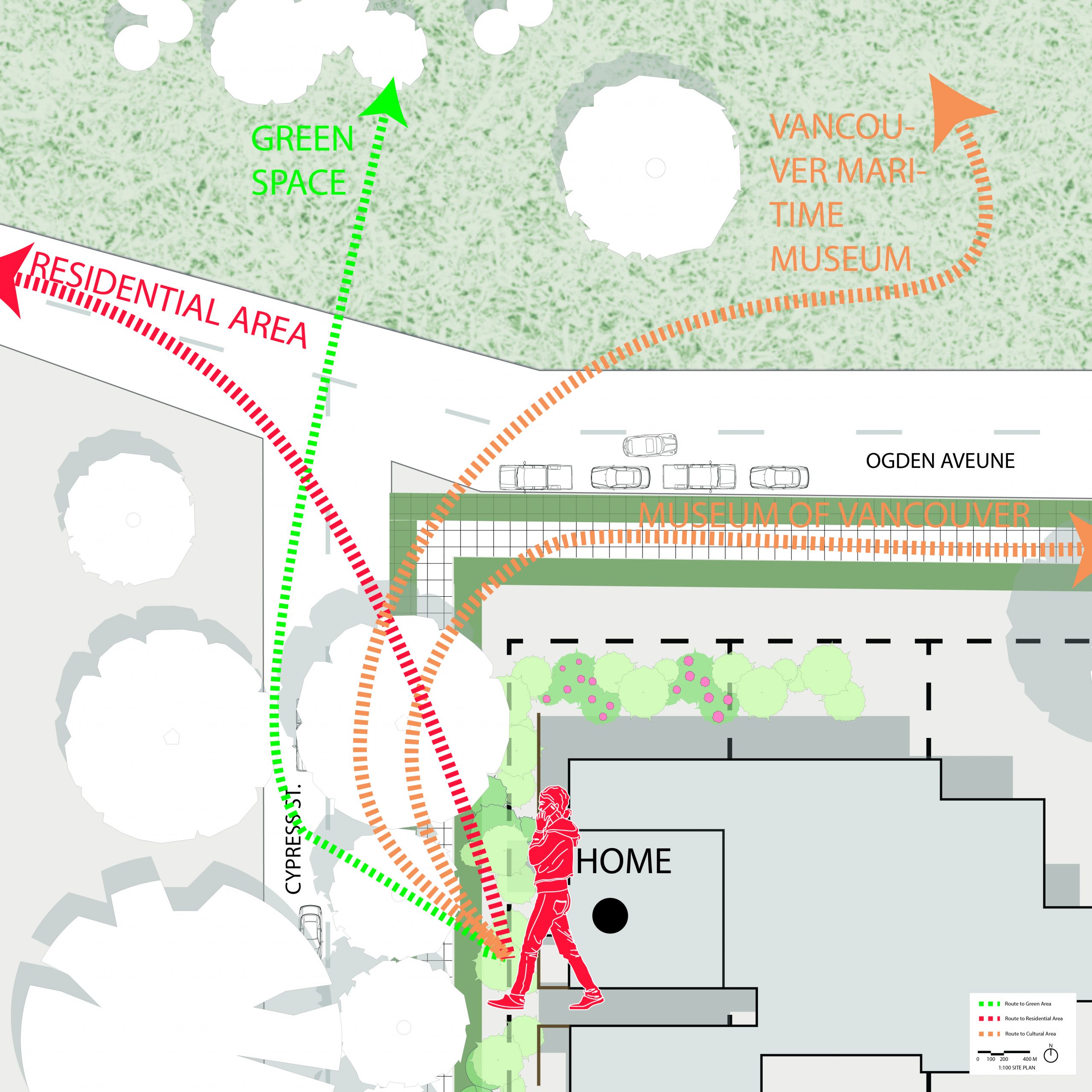 Site Plan 1:100
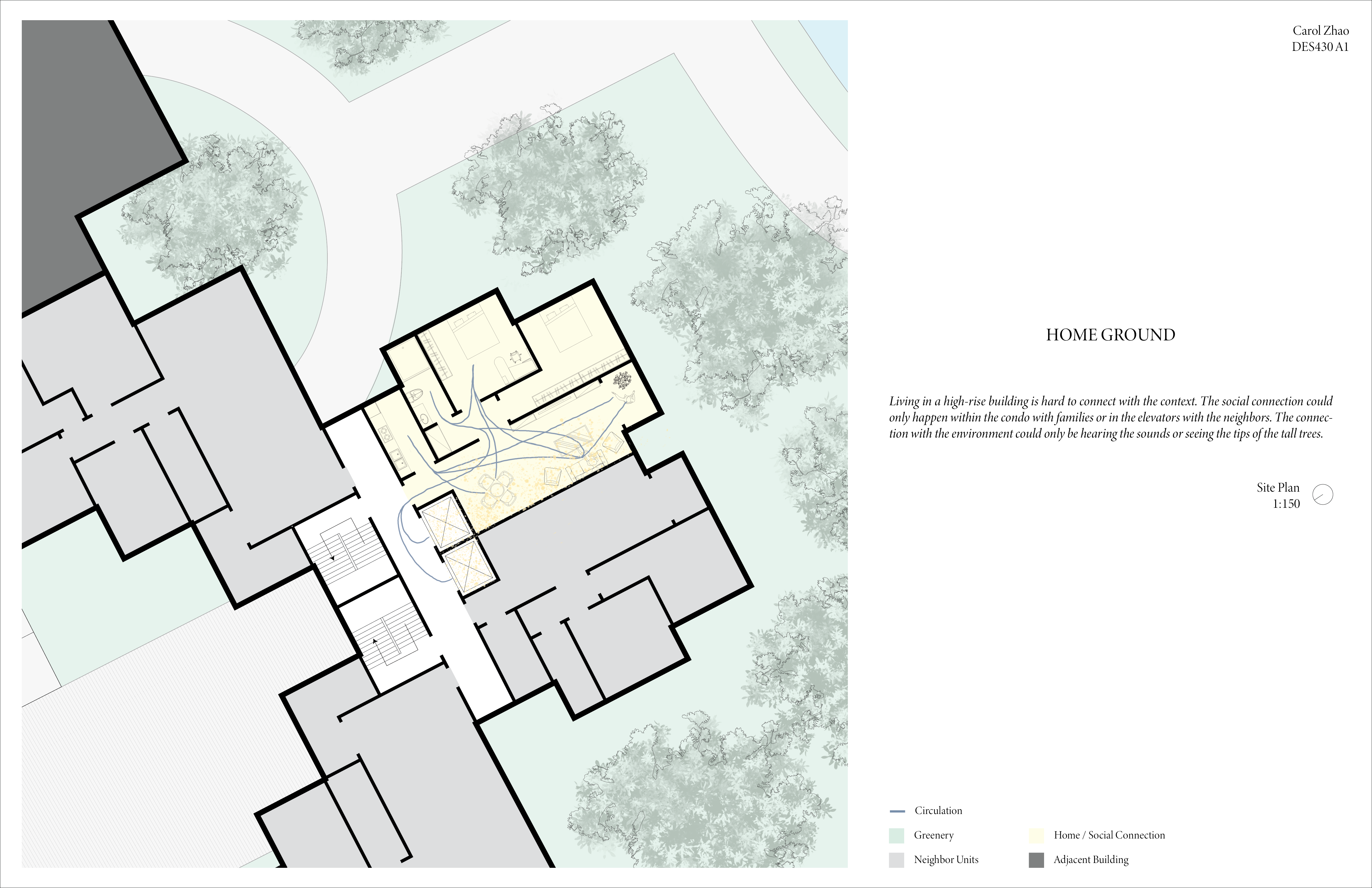
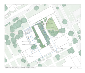
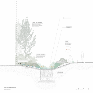