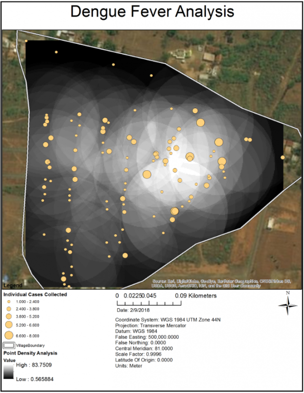
Throughout my academic career at UBC and Langara, Geographic Information Systems and GI Science has been at the heart of my studies. GIS has many advantages: it is multidimensional, voluminous, multi-scalar, and easy to store, organize, access and retrieve. It improves efficiency in handling information about objects, events, and places, adds transparency of assumptions and methods, and allows other scientists to reproduce the same results. A plethora of statistical and spatial analyses can be performed through GIS applications, leading to greater insight in an almost endless array of real-world problems and situations.
The geographic context of phenomena is important: there is variation across the space being manipulated, and results of modeling change when the locations of objects change. Distance decay, spatial autocorrelation, hot and cold spots, and deduction through interpolation are some of the exploratory concepts used in deducing real-world phenomena across space.
