Introduction
This virtual resource is being developed in stages, each stage to be sufficiently “complete” to stand alone. This will ensure its usefulness even if some of the envisioned capabilities never get implemented. The project is part of a large TLEF, funded between May 2016 and Dec 2018. Sara Harris is the official PI, but Francis Jones fjones@eoas.ubc.ca is the primary contact and principle designer – developer.
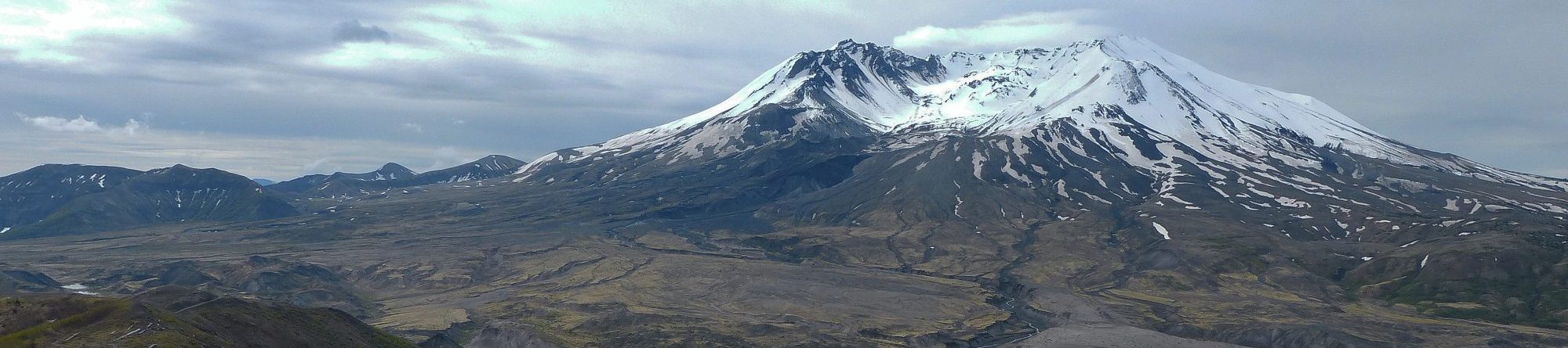
The facility was inspired by a real field trip developed as a guided bus trip between Vancouver and Whistler offered to students in the course EOSC114, Natural Hazards. The field trip was also adapted for accessibility for students with various disabilities with results published in Gilley, Atchison, Feig, and Stokes, 2015¹. A second source of inspiration and resources comes from Dep’t Geography’s open-ed initiative, outlined at http://open.geog.ubc.ca/resources/field-trips/
This is intended to be an open resource, but two audiences are targeted: 1) instructors who will use the resource as part of their lessons; 2) students who may be expected to make use of this resource, either as required viewing, and/or in homework exercises.
Resource components
Existing: Four coupled components, currently being refined.
- A Google fusion table containing raw data for each field trip “stop” or “site”.
- A public Google Map, with each pin including a subset of data items from the fusion table.
- A freely available KMZ-based Google Earth “tour” derived from a subset of fusion table data items.
- A blog site to tie it all together: see https://blogs.ubc.ca/eoashazards/.
- A home pages for each field trip (eg. https://blogs.ubc.ca/eoashazards/sea-to-sky-map/ ),
- Individual pages for each site including maps, movies, 360 panoramas and other resources via <iframe> tags. Eg. https://blogs.ubc.ca/eoashazards/the-barrier/ .
- UBC’s blog space does not encourage large collections of “media files” so some resources need housing elsewhere: eg. https://www.eoas.ubc.ca/data/courses/eosc114/resources/flow1.htm
Enhancement #1: use the fusion table (adapted if needed) to emulate some features of http://soilx.ca .
- Build virtual field trip “site” pages containing information in a format analogous to soilx.ca.
- Enable addition of new field sites simply by adding a row to the fusion table.
- Facilitate searching based on data fields, again analogous to soilx.ca.
- Store and deliver the resource from UBC-maintained servers, with management of the database carried out by course instructors or administrators. (Could possibly maintained on EOAS server – needs discussion and possibly negotiation).
- Optional: add a wikitude (or equivalent) augmented reality capability.
- Other imaginative ideas?
Enhancement #2: Make it possible to add “sites” using a form which instructors could access. Possibly within Google’s space; possibly via CWL (to be discussed).
- Enhancement #3: Make it possible for students to add “sites”, and possibly enable peer-assessment.
- Maybe harder owing to FIPPA rules (no student data outside Canada).
- Maybe do this by developing a procedure for students to generate information within Connect (or Canvas). Instructor or admin would download “quiz” data, then translate & merge with the fusion table. A preliminary version is being piloted during the Fall term, 2017.
- Enabling anonymous student peer review will anonymizing, random assignment for review, application of a rubric, and gathering of results.
Enhancement #4: introduce augmented, interactive resources. Examples include:
- Interactive 3D 360 panoramas built with holobuilder – or an equivalent.
- Incorporate 3D models into KML/KMZ versions of the tour. Requires COLLADA interchange file format (Google “3D models in KML”). Possibly build upon photogrammetry work being done in Geography.
- Add interactivity to “interior streetview” of the Pacific Museum of the Earth, built by Gabriel Lascu in 2016 (see http://pme.ubc.ca/exhibits/virtual-tour/). Eg. hotspots on an exhibit and access interactive media.
- Other ideas, but these are “cool” rather than important pedagogically.
¹Gilley, Brett, Chris Atchison, Anthony Feig, and Alison Stokes. 2015. “Impact of Inclusive Field Trips.” Nature Geoscience 8 (8): 579–80. doi:10.1038/ngeo2500.