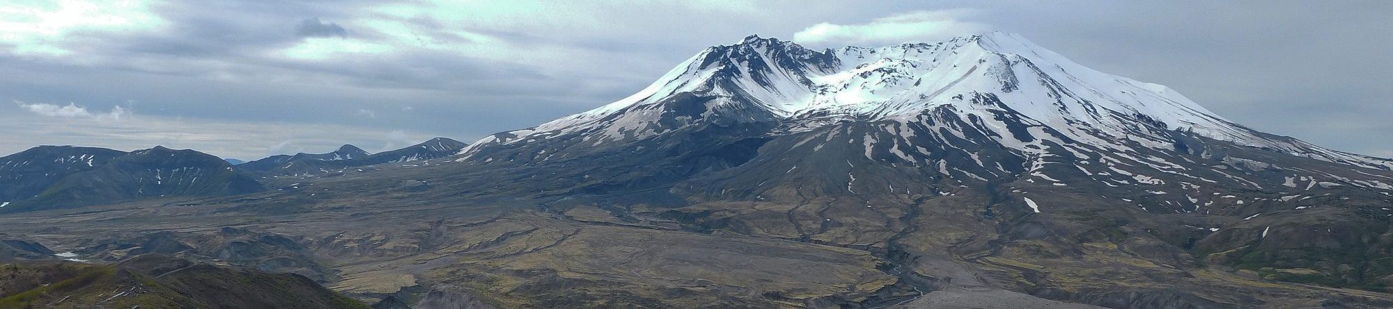
EOSC114 student-generated hazard collection maps
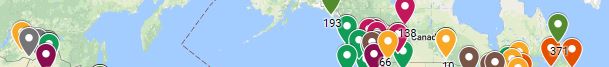
These maps are generated with Google Maps several times each term (fall, winter, summer). Each contains a compilation of anonymized information pins generated by students in EOSC114. Their assignment: What hazardous event have you experienced, or is particularly interesting to you? The types of hazards varies depending on which module is being taught when the exercise is assigned.
Students find the latitude and longitude of any interesting event, select 2 sources and an image, and writing a short description.
Some ways to explore these maps:
- Click one or the other or both layers called “by hazards” or “by experience”.
- How many students were keen on earthquakes?
- How many are interested in volcanoes?
- How many students have experienced the hazard?
- How many have experienced a hurricane?
- How many students were primarily interested in “consequences” or in the “processes” underlying the event?
- Where in the world are most of the tornadoes mentioned?
- Are there many pins about hurricanes along the Pacific Northwest coastal region? Why or why not?
- Where are there clusters with many pins referring to one event (eg. Haiti)?
- What other interesting questions can you pose which this map could answer?