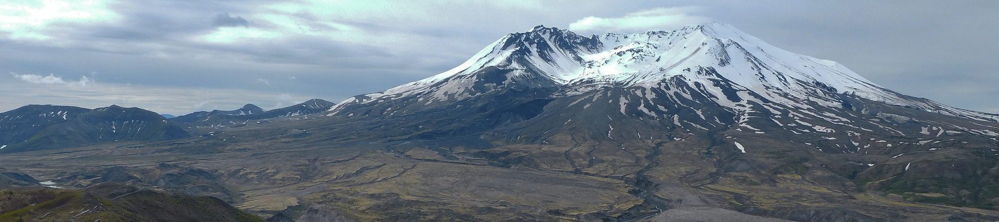
Location: Garibaldi Opal Cone elevn: 1492m. Lat. 49.82299 Long. -122.972
Direct Google URL: This link takes you to a prepared viewpoint.
Hazard type: vo
Short Description: Opal Cone in Garibaldi Park, and Ring Creek Lava Flow decending to within 2km of Squamish
Long Description: The Ring Creek lava flow formed immediately after deglaciation 10,000-12,000 yrs ago. The lava flow effused (emerged) from Opan Cone and filled the Mamquam River valley 20km down almost to the Squamish town site. Geologically, this is a very young feature and is clear and obvious on Google Maps, either with “terrain” turned on, or in satellite view mode.

Source of the Ring Creek lava flow, and accessible via a spectacular 1-day or a 2-day hike in Garibaldi Park. See https://www.outdoorvancouver.ca/opal-cone-hike/
media1: This hike description includes maps, statistics, elevation graphs, images, and video, all discussing of hiking to Opal Cone in Garibaldi Provincial Partk. “Opal Cone is a hike I can’t recommend enough…”
![]()