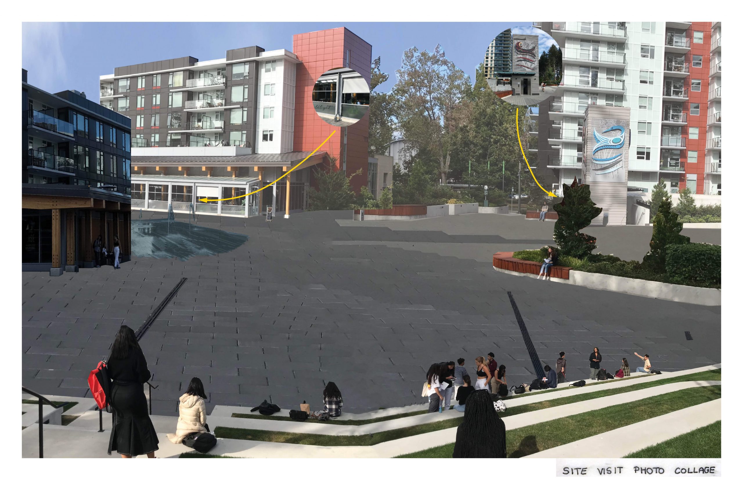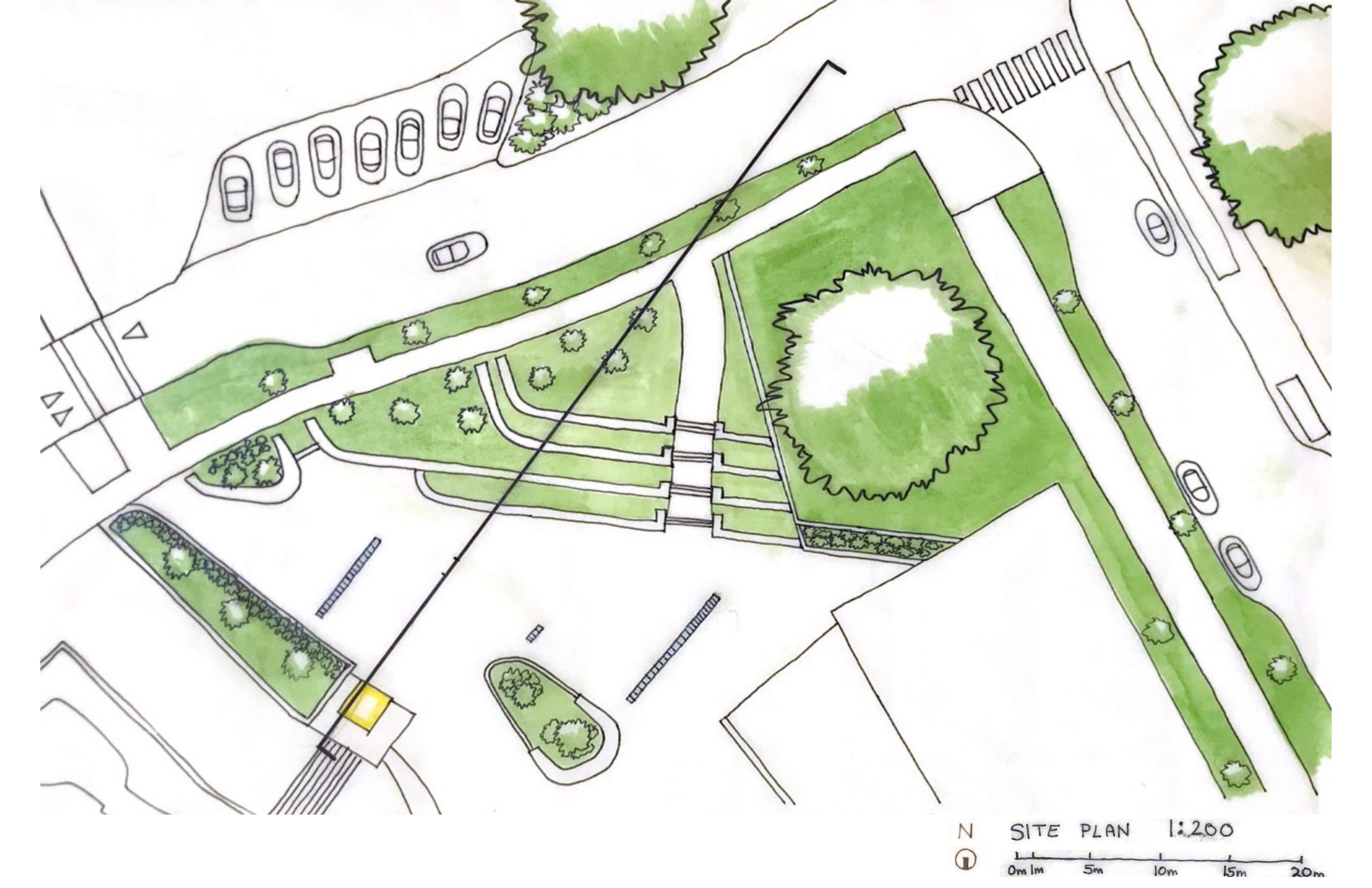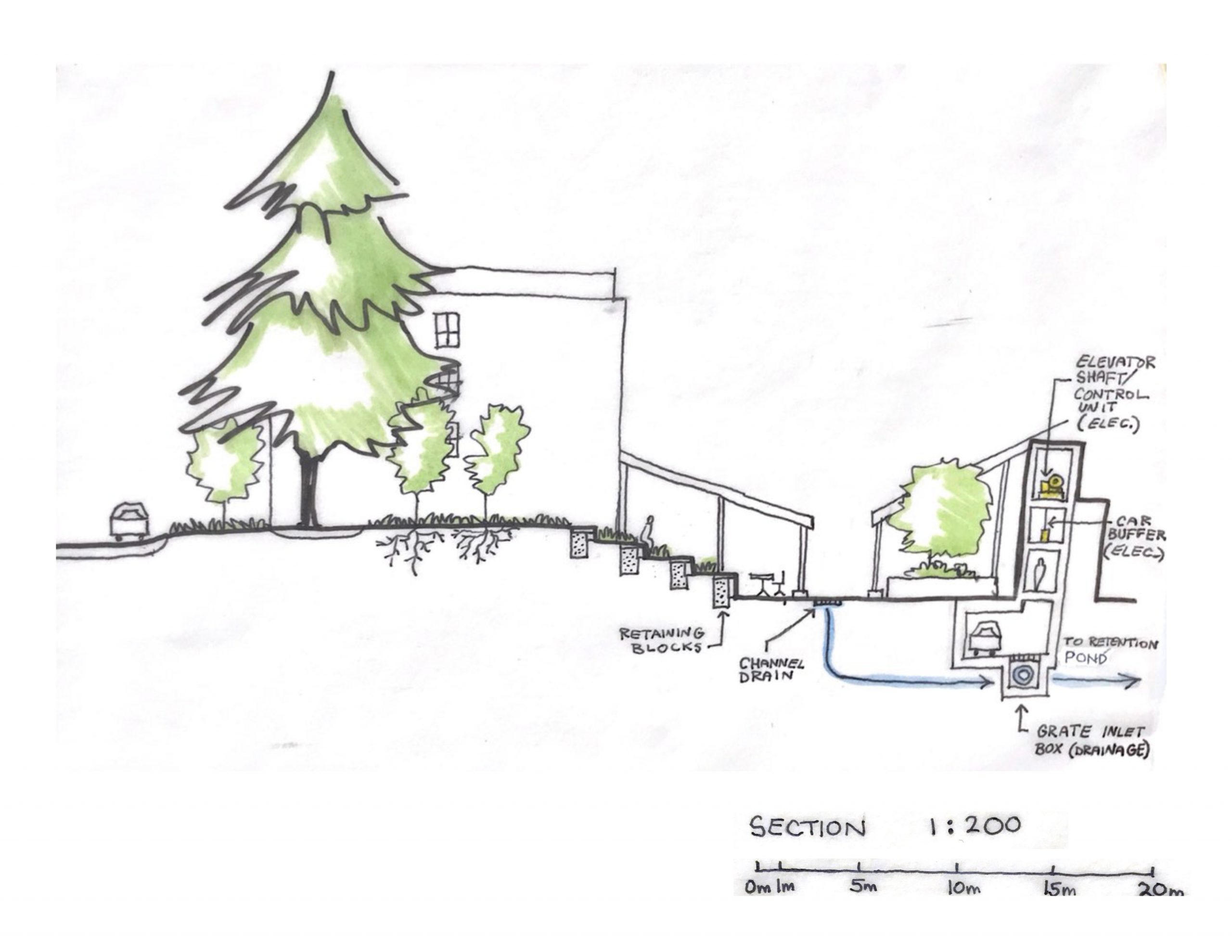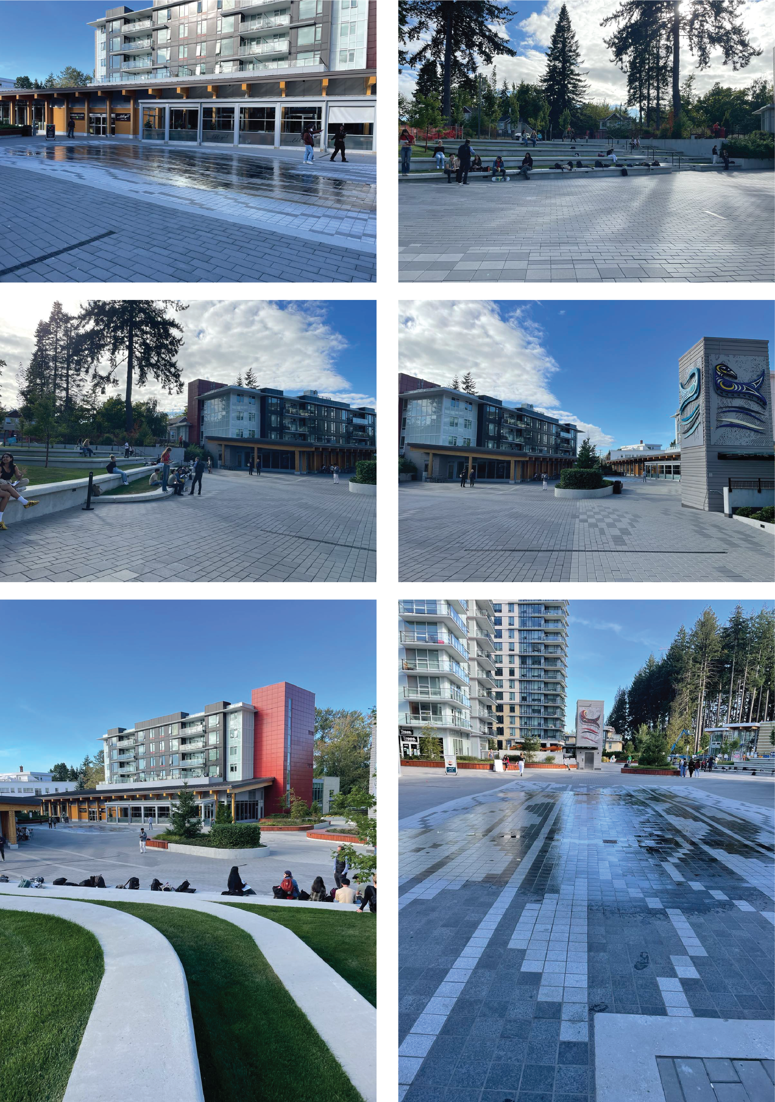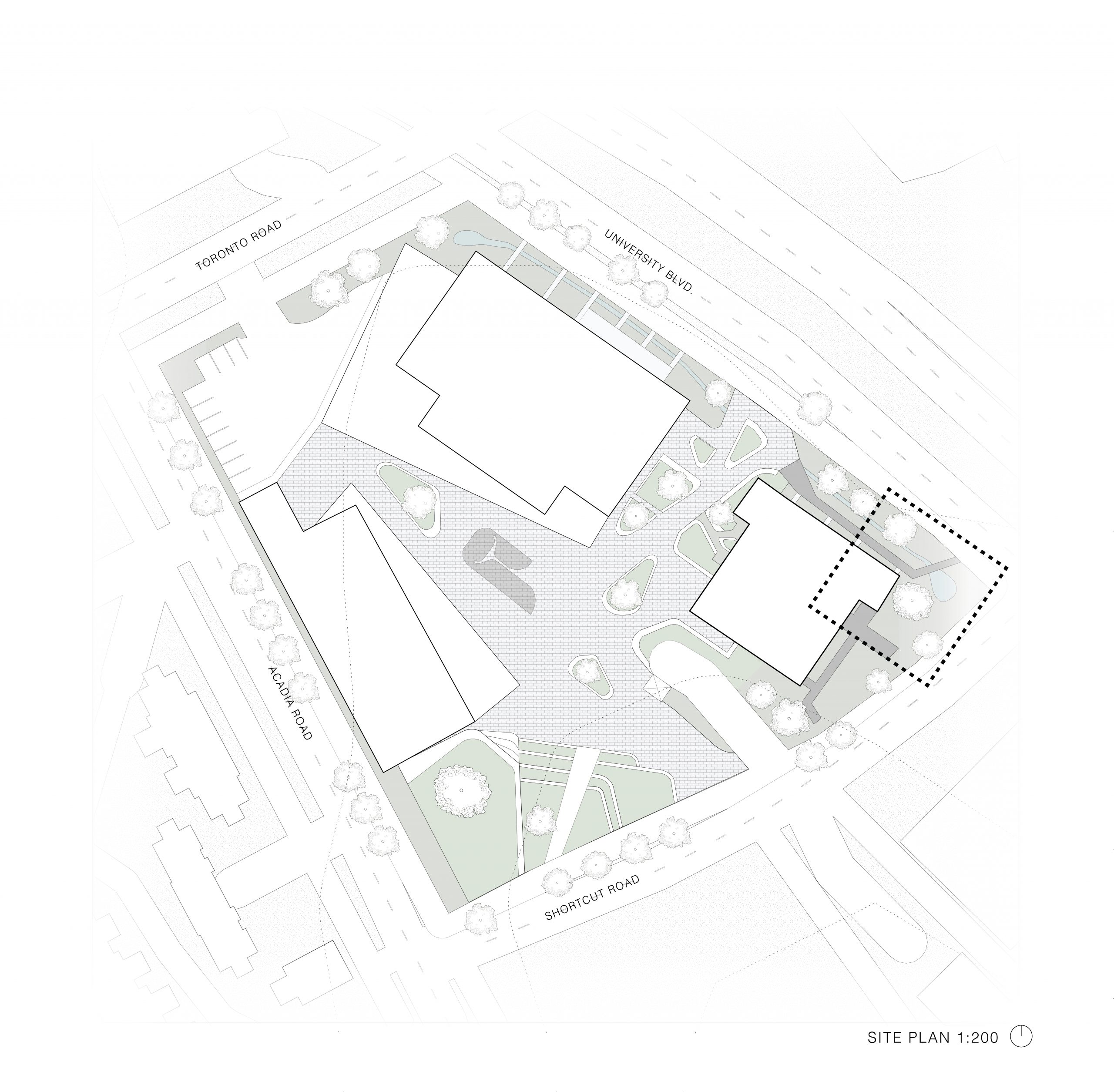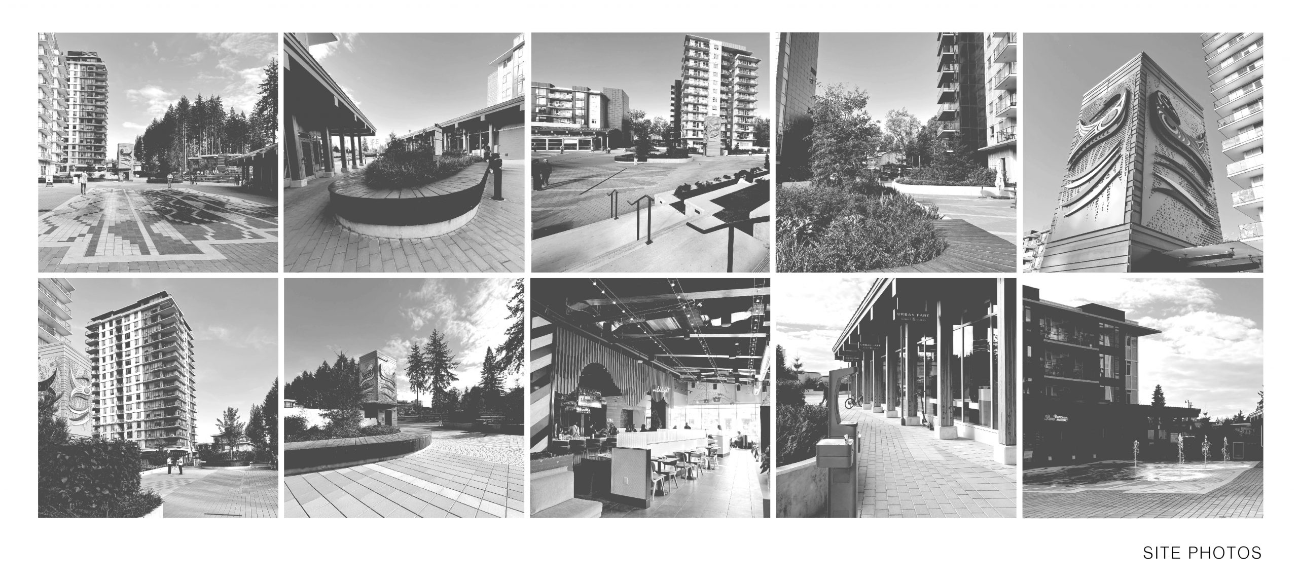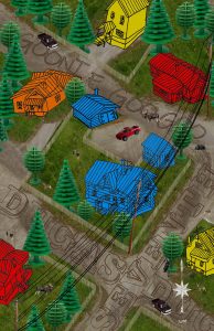
This site plan is set on the corner of Dugas and Seventh in my home town of Dawson City, Yukon Territory. It felt important to reference my childhood spent here, so the houses are playfully hand drawn (my own in blue), the trees are LEGO toys, and the cars are Hot Wheels. Dawson was a secluded place where we depended on meat we hunted for, and shared with our neighbors. Dotted throughout the plan are deer, moose, and some black bears.

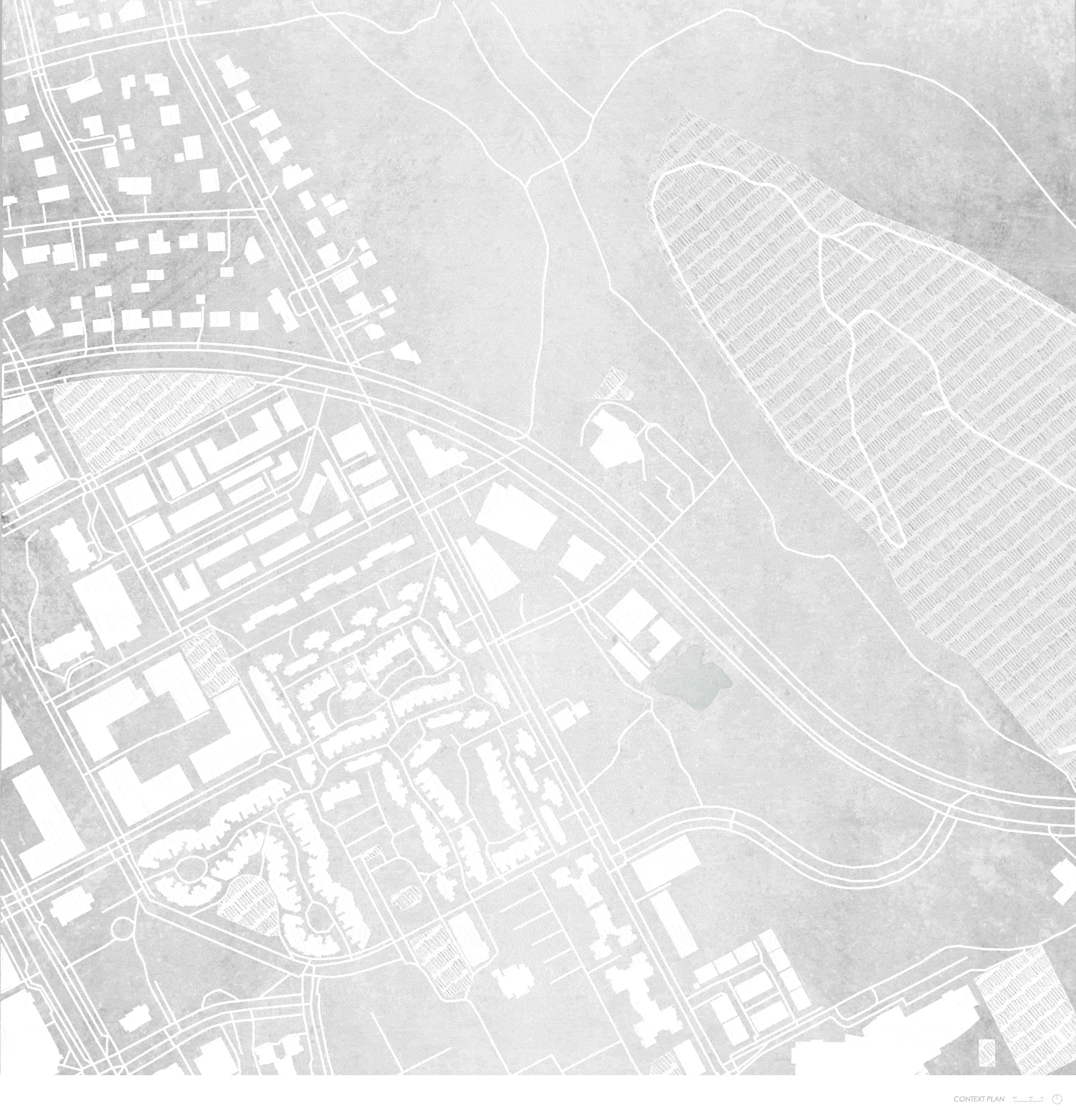
My neighborhood plan is intended to showcase more characteristics of Dawson such as dirt roads, spaced apart houses, and autumnal bright yellow birch trees that are characteristic of the Yukon.
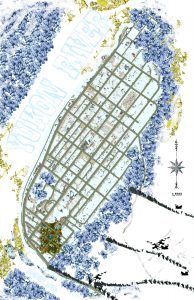
The final city plan of Dawson focuses more on it’s history. In the bottom right are rows of people who flocked to the city in the late 19th century for the famous Klondike Gold Rush. Part of the trek to get to Dawson was through the Chilkoot Pass, a mountain passage that colonists reached by the coast of Alaska. Portions of the trail were so treacherous, that many horses died on the journey.

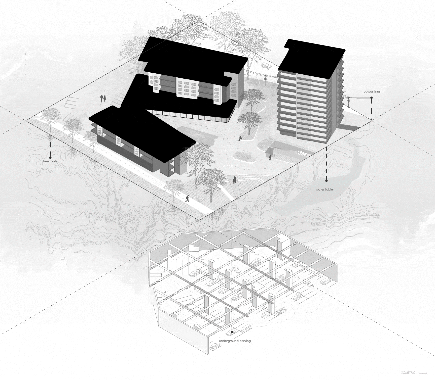


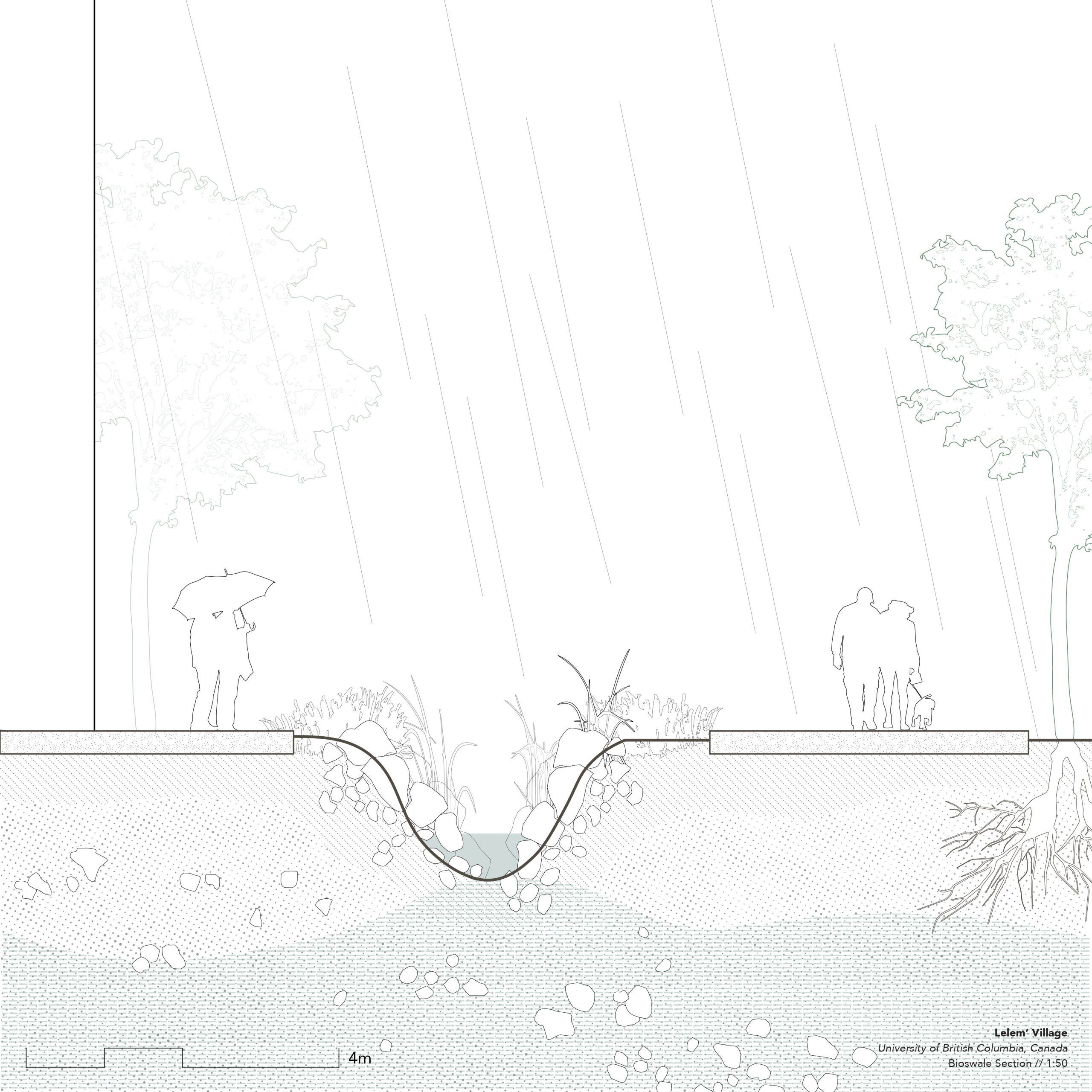
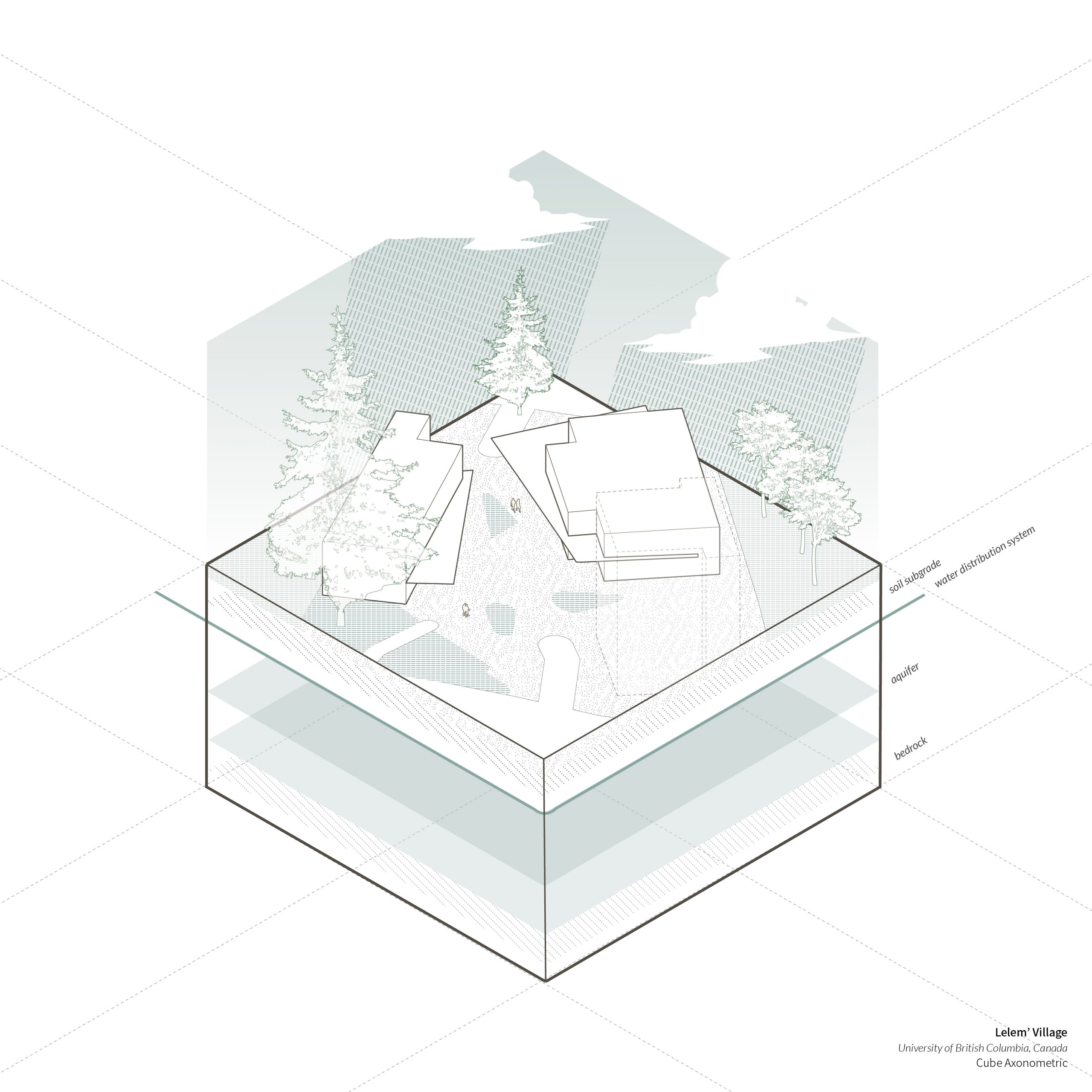


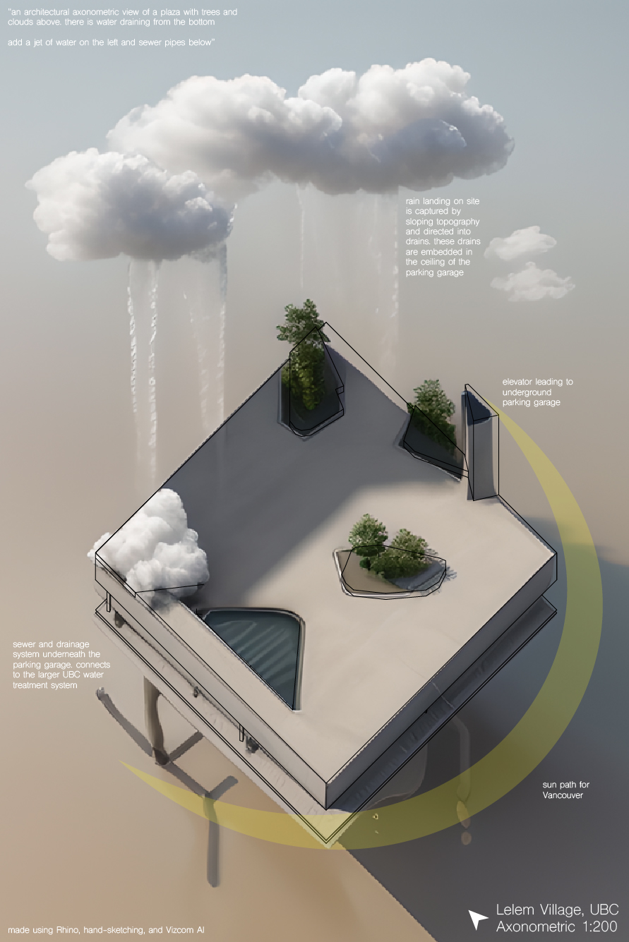
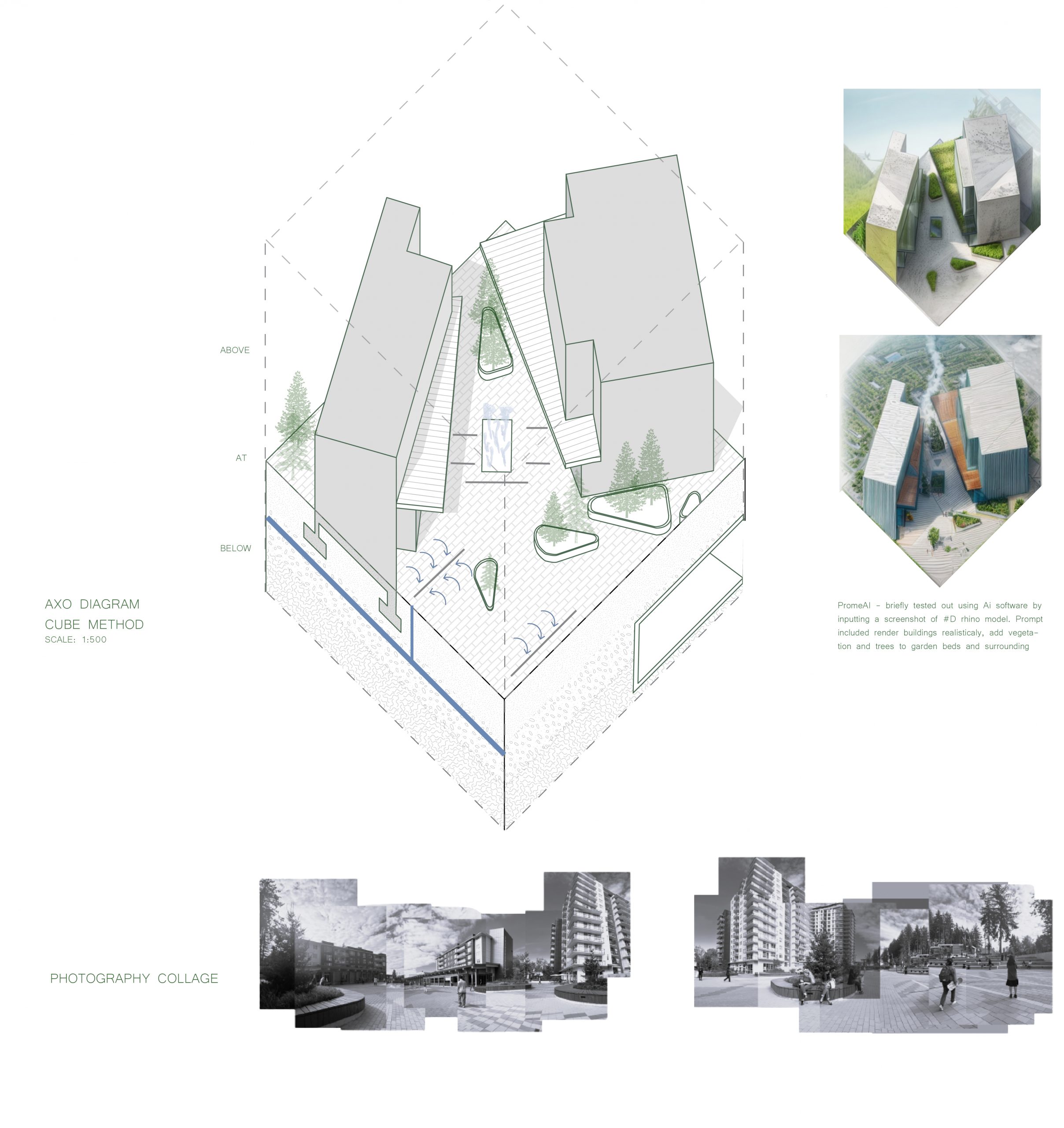
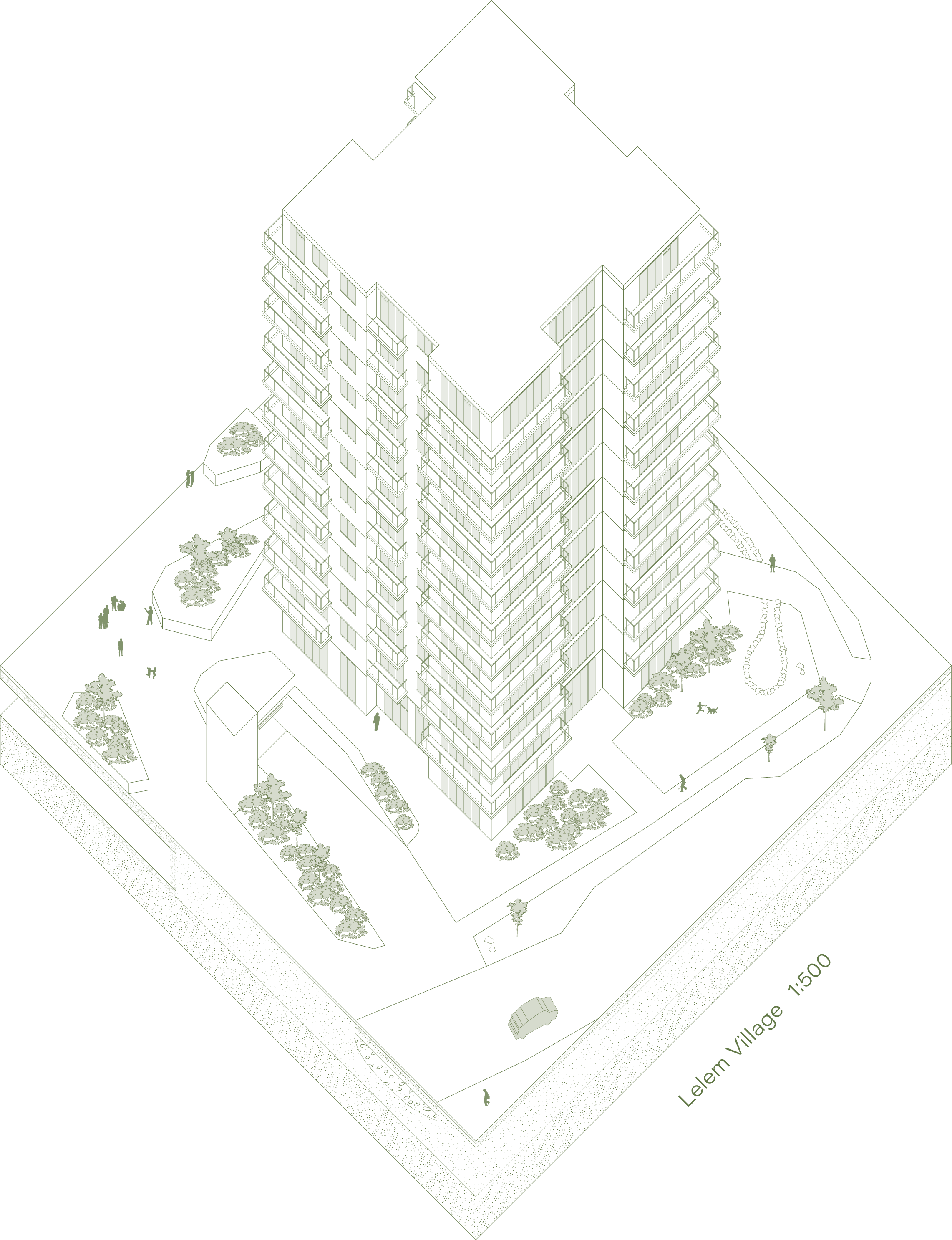
 AI Axo cube drawing was made using a Rhino model, hand sketching/tracing, and Vizcom AI. The prompts used are on the final Axo drawing above.
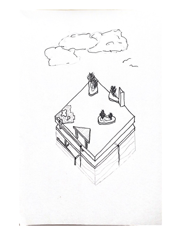